Waratah sits at the eastern gateway to the Tarkine wilderness and adjacent to the Savage River National Park. It is a 40-minute drive south of Burnie and 50 kms north from Tullah. The road through the area was not completed until 1963. Now Waratah is connected to Corinna, a tiny settlement located approximately 62 kms further south west.
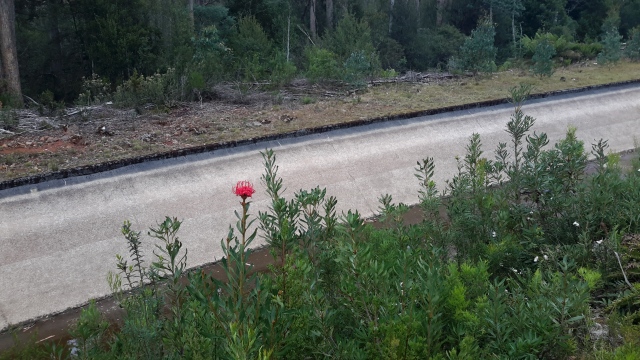
Waratah was probably named by Van Diemen’s Land Company officials after the Waratah River, which was named after the wildflower that was found growing in the area. We did not see a Waratah in flower during our Tarkine trip so I am including a photo taken on a completely different trip of mine. The photo below, of a flowering Waratah, is one I took during my walk from the mouth to the source of the Derwent River – for more information refer to my blog Walking the Derwent here.
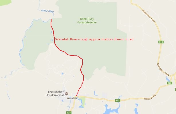
The Waratah River, running northward, is a tributary of the major Arthur River, the river which roughly forms the northern boundary of the Tarkine.
ABC news reported a story Waratah keeps on through hard times thanks to the passion of the old and the new . This presents historical information and includes otherwise unseen photographs.


